 Carp
Carp






 Predator



 Coarse

 Trout
Trout

 Catfish


 Sea
Sea


 All deals
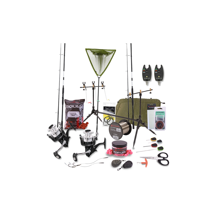
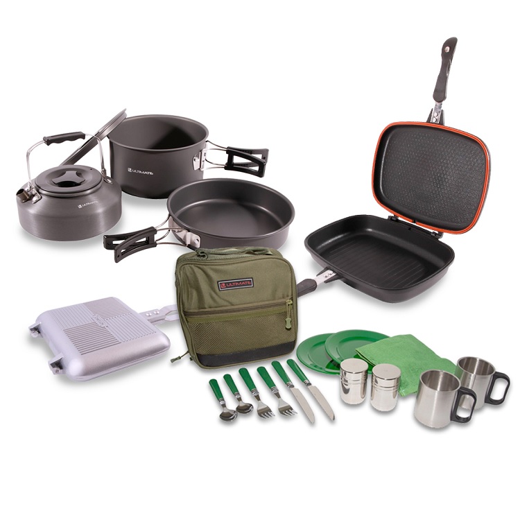

 Fishing Sets
 Clothing
 Outdoor
 Outlet
 Fishing Gifts

Central & West Europe
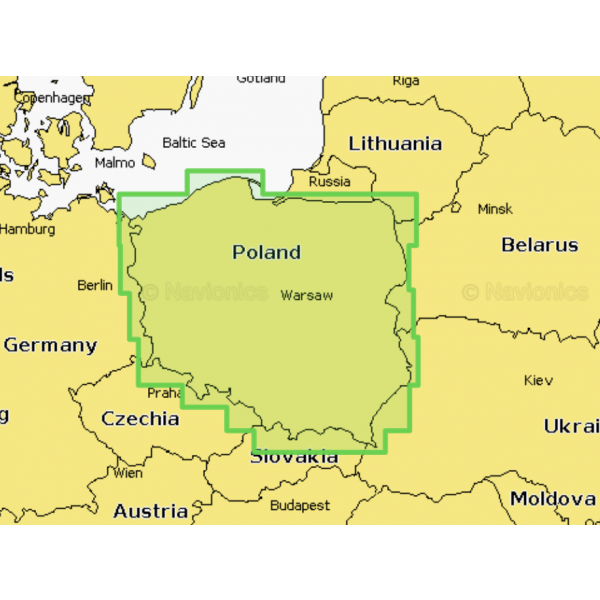
Poland Inland Waters
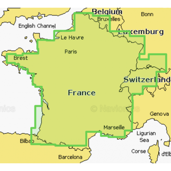
France Lakes & Rivers Leman Zurichsee
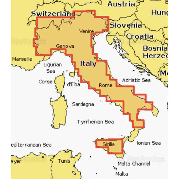
Italy Lakes & River Po
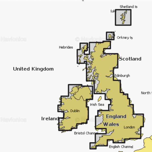
UK & Ireland Inland
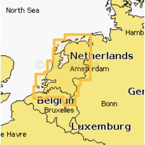
Holland Inland
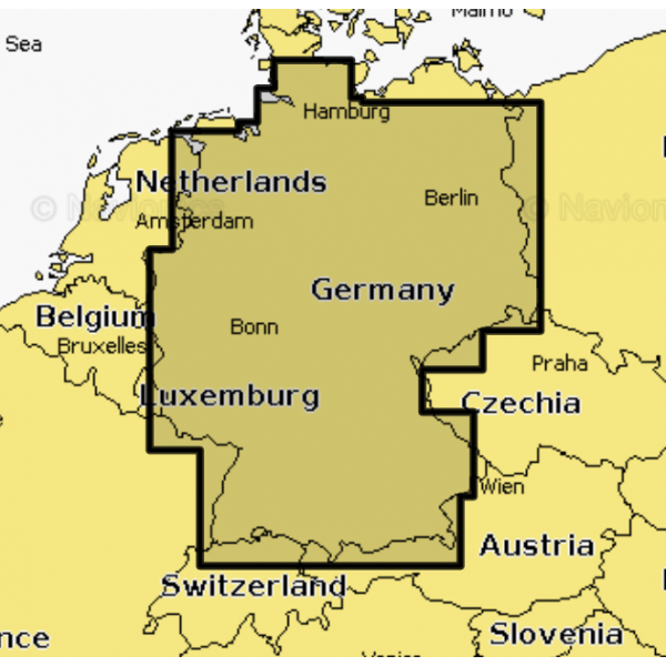
Germany Inland
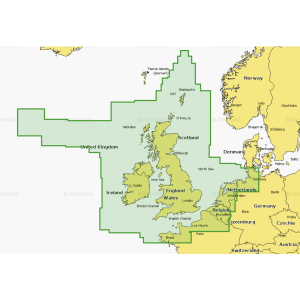
UK, Ireland & Holland
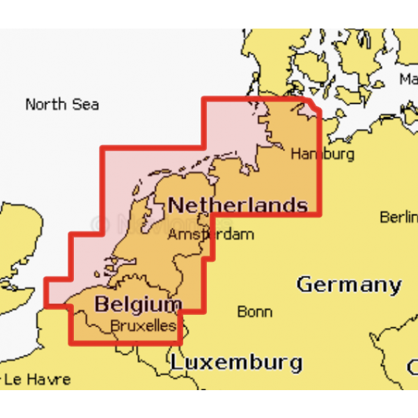
Platinum+ Card Hamburg-Duinkerken
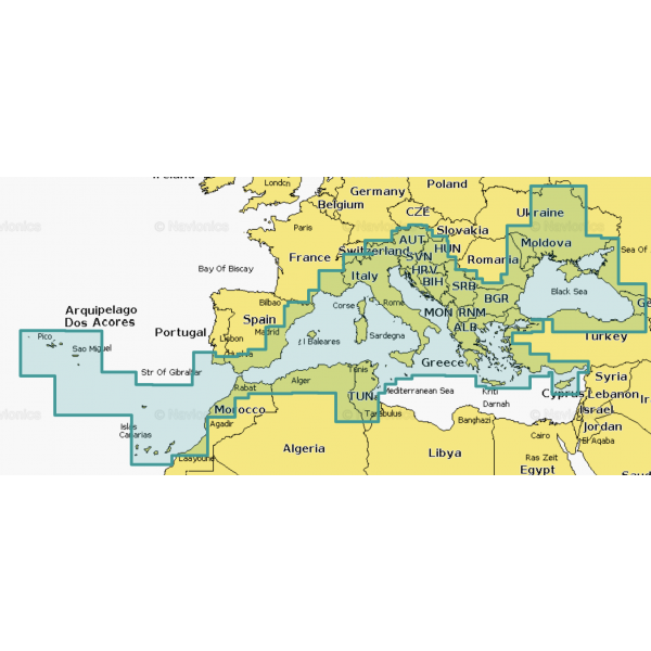
Mediterranean & Black Sea
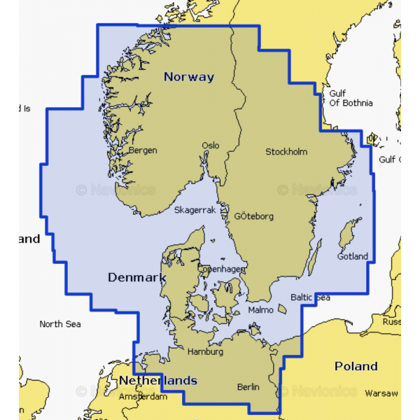
Skagerrak & Kattegat
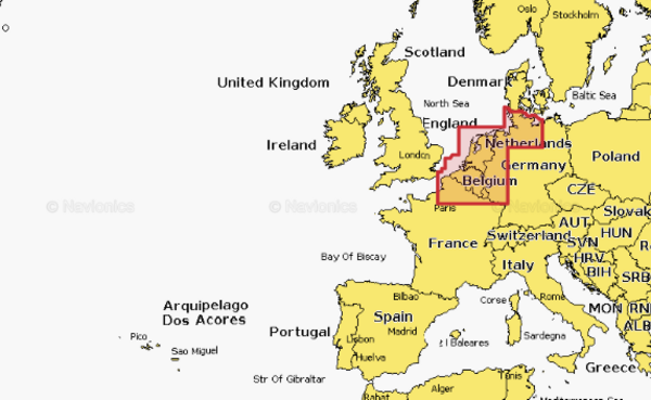
Benelux & Germany West


Specifications
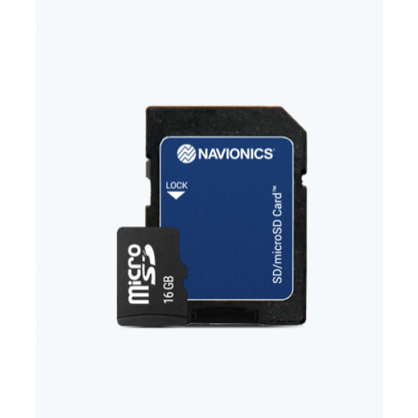
Navionics+ Maps SD/MSD Card
- Choice between several options
- All-in-one detailed marine and lake cartography
- Provides the most accurate navigation data
Nautical Map
- Comprehensive maps from multiple official, government and private sources
- Displayed in a familiar look and feel
- SonarChart™ and SonarChart™Live
- Create your own maps
- Innovative 1’ (0.5m) bathymetric charts
- Created using Navionics proprietary Community edits
- Useful local knowledge of edits
- Created by users of the Navionics Boating app
- Dock-to-dock Autourouting
- Start your journey with a set route
- Advanced chart options, customise your view
- Plotter Sync
- Plan on your mobile, continue on plotter!
- A one-year subscription to daily updates and advanced features
- Please note! Navionics maps are not compatible with Garmin!
Description
Navionics+ is an all-in-one detailed marine and lakeside cartography. This makes Navionics+ charts the perfect choice for cruising, fishing and sailing. Featuring the most accurate navigation data for your GPS plotter, an exclusive 0.5m HD bathymetric chart enhanced by boaters like you, and unique local content shared by users of the Navionics app. Thousands of edits are made daily, so you’ll always have the most up-to-date charts and information. Navionics+ offers full coastal to offshore marine content, plus rivers, bays and over 40,000 lakes around the world. Daily updates and advanced features are included for one year!
The Navionics+ is available in several variants! Please note! Navionics maps are not compatible with Garmin!

Navionics+ Maps SD/MSD Card
- Free shipping on orders over 99.00
- Items can be returned within 50 days
- Easily place your order with or without an account
- Customers give Fishdeal a 9.5/10